June 19 & 20, 2013 Mississippi River Ride
June 19, 2013
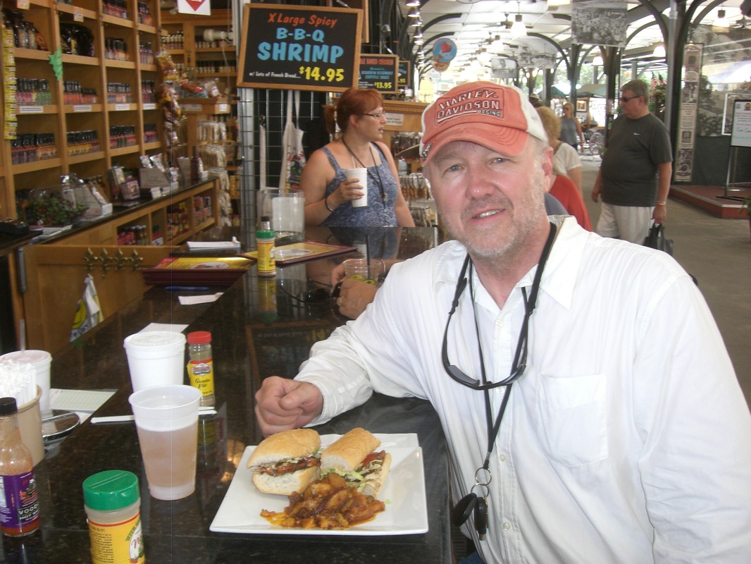
Packed up the camp and hit the road around 9:00. Heading into weather so we were not sure what to expect. Traveled Interstate until we diverted to Mandeville to catch the Pontchartrain Causeway. Headed into New Orleans and had lunch at the French Market (Out Door Farmers Market). Gumbo, BBQ Shrimp and Soft Shell Crab Poboy's were consumed with a Beer in a "go-cup".
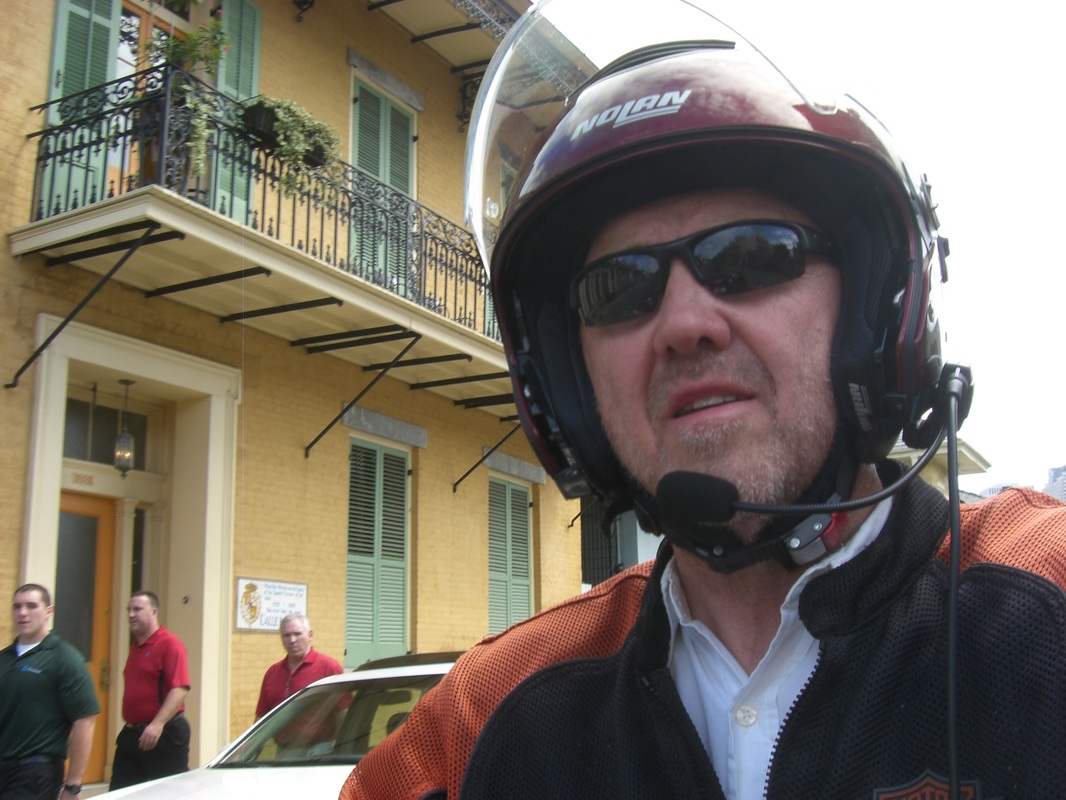
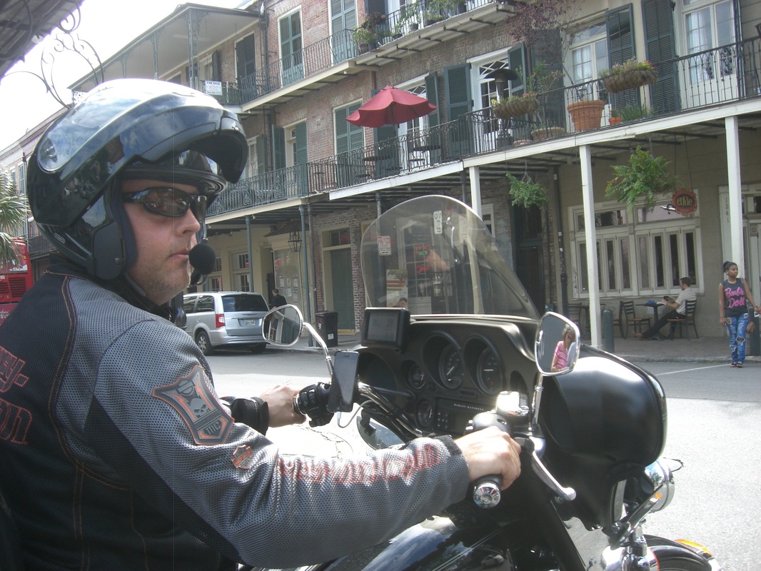
Next, we conducted motorcycle reconnaissance of the French Quarter (see pictures below) and then set off for the end of the river; where the Mississippi meets the Gulf of Mexico. First order of business was a trip across the Mississippi on the Algiers Ferry.
Upon riding 70-80 miles we reached Venice-Boothville, which is an odd mixture of petro-chemical industry, fishing and residential neighborhoods. At the end of the road is a picturesque petro-chemical processing facility that ties together the off-shore pipelines from the oil derricks to the land based pipelines. Several product types are visible in the accompanying photo, including crude oil and natural gas or LPG. It is amazing to see the water level because it is not more than 20" below the height of the road. Presumably it was high tide because the area could not tolerate much more water.
Riding out to this point took a lot of time; more than was thought, and yet we now needed to return. The area has many lodging opportunities for fisherman and oil workers, and no campgrounds and few hotels to choose from. We ended the day in Harvey, LA, a working class suburb on the south side of New Orleans. Total distance for the day 363 miles with a total of 1619 miles for the trip through Wednesday evening.